3D pedestrian network of Hong Kong
Physical connections
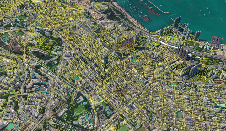 Hong Kong Pedestrian Network
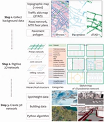
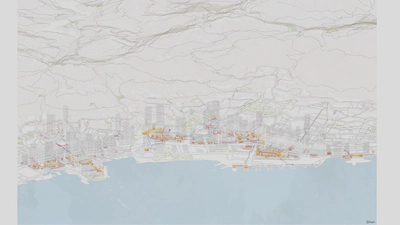
A three-dimensional pedestrian network is crucial for Hong Kong. Government authorities, international consulting firms, and urban researchers love to talk about walkability. However, when it comes to the high-density city, unfortunately, their analyses are hardly convincing. Besides miss-conceptualisations of walkability for Asian contexts, usually, from European and North American experience, they also use wrong data. Pedestrians walk on the three-dimensional (3D) networks, such as the footbridges and undergrounds. But since the city did not have such data in the past, so people use the road network as a substitute.
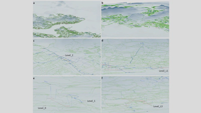
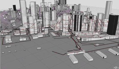
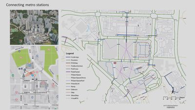
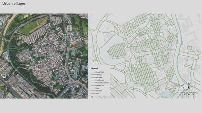
We built the 3D pedestrian network of Hong Kong, in three years, from 2016 to 2019. Our 3D pedestrian network model classifies segments into 23 categories with multi-height levels, such as sidewalk, footbridge, underground, crosswalk, ramp, and rooftop paths. We built the data using a geographic information system. The 3D pedestrian network is over 8000 km, which is 2.4 times in length and 8.5 times in link size greater than the road network.
A teamwork with Prof. Chris Webster, Dr Xiaohu Zhang, Dr Alain JF Chiaradia, Dr Jianting Zhao, Dugald Wallace, Xiaoyang Nan, Yanan Zhang, Meng Yuan, Jiaxuan Yang, Shaochao Wang, Xiaodong Shi
Project Outputs
- Connecting the city: A Three-dimensional Pedestrian Network of Hong Kong
- [Hong Kong Pedestrian Network Open Data] (https://data.gov.hk/en-data/dataset/hk-landsd-openmap-3d-pedestrian-network)
- Our network data have been transferred to Lands Department through HKU Technology Transfer Office, and released to the public in 2020 (see the [press releases] (https://www.info.gov.hk/gia/general/202012/03/P2020120300289.htm)). The accurate data empower urban analytics of the high-density city. Now we have the correct data, walkable Hong Kong and smart-city applications can do better.
Our 3D pedestrian network work has won two prestigious awards from the Royal Town Planning Institute (RTPI) in 2019: the early career academic award and the commendation award for research excellence.
This project is funded by HKUrbanLabs, (2016.02-2018.06).
